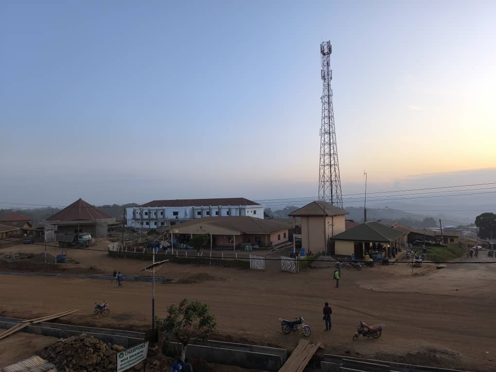
Ndu Municipality covers the same administrative and geographical area as Ndu subdivision; one of the five Sub Divisions of the Donga-Mantung Division. Ndu town, which is the headquarters of the Sub Division, is located 145 km northeast of Bamenda. About 20 km of the ring road which relays the divisions of the North West Region lies within the council area.

With a total population of over 73,955 inhabitants as revealed by 2005 General Population and Housing Census (See annex 1 for population distribution of the municipality) the population of the municipality has greatly grown over the past years. The 2003 estimate projected the total population of the Ndu municipality for the year 2000 to be about 98,000 inhabitants, up from 61,717 in 1987. However, given the annual average of national growth rate of 2.5% and the population figure of 2005, it can be deduced that the population of Ndu in 2024 would be 165,741 inhabitants, ceteris paribus. The Sub Division covers a total surface area of 1625 km2 and the population density is about 45.51inh/km2.
It is made of 17 villages grouped into three zones;
- The centre zone with five villages (Ndu, Mbipgo, Njimkang, Njilah and Wowo),
- The west zone with five villages (Talla, Ngarum, Taku, Ntundip, and Luh)
- The east zone with seven villages (Sehn, Ntumbaw, Njirong, Ngulu, Nseh Macop, Sinna and Sop).
The principal ethnic group in the village is the Wimbum whose ancestors hailed from Tikari in the Adamawa Region of Cameroon.
Ndu Sub Division was created by presidential decree No. 93/322 of 25/11/1993. It is one of the five subdivisions that make up Donga Mantung Division of the North West Province. Donga Mantung Division is one of the seven divisions that make up the North West Region. Cameroon has ten Regions. It lies between longitudes 10.5o and 11o east of the Greenwich Meridian, and between latitudes 6.2o and 6.5o north of the equator
Ndu subdivision has its headquarters in Ndu. It is bounded to the North by Nkambe, to the south by Mbiame (Bui Division), to the south-west Nkum Sub Division (in Bui Division), west by Noni Sub Division (in Bui Division) and to the East by Nwa Sub Division. Its position is central to Nwa, Kumbo Central and Nkambe Central Sub Divisions and to the east by Nwa.
The headquarters (Ndu) is situated at some 145 Km from Bamenda the Regional headquarters, northeast of Bamenda. Figure 1 presents the map of the Former North West Province with the remarkable territorial boundaries of the Ndu Municipality
